
Finding Parcels Around a Wyoming County Property
A good parcel search begins with the subject parcel, not a guess about the neighbors. Locate the lot on an assessor map or the state viewer. Then write down every adjoining or nearby polygon ID. Look up each ID in the county Assessor. The result supplies the tax-roll owner and mailing address for that lot. A plat adds context. It can show lot lines and shared roads. That is how the subdivision was laid out when it was recorded.
| Source | What It Shows About a Block | Access |
|---|---|---|
| Landmark tax map | Parcel shapes and local tax-map context | County Assessor map page; adjacency tool not confirmed |
| WV Property Viewer | Parcel search and geometry buffer tools | Public state viewer; use the buffer as a search aid |
| County assessor roll | Owner field, mailing address, district and parcel key | Free online search by name, street or Map/Parcel |
| Recorded plat | Platted lots, blocks, streets and easements | Request the cited book/page from the County Clerk |
The tax roll names the owner of record. It does not name the resident. A mailing address may sit outside the neighborhood or belong to an entity, so treat each adjacent result as a parcel-level clue and settle any ownership question with the deed.
Wyoming County GIS Map Limits
The Landmark portal opens with a county tax-map disclaimer. It is for tax purposes only. The county calls it neither a valid survey nor a legal document, and warns the layers may not be current or accurate. The site offers no adjacent-parcel or buffer button. Do not count on a click feature. Use the map to spot likely nearby parcel IDs and write them down before moving to the Assessor form. Open the Wyoming County Landmark viewer to orient the search and read its tax-map limits for yourself.
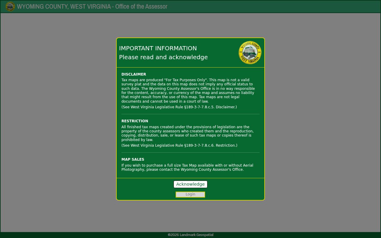
Treat the viewer as a tax-map resource. A nearby polygon is a candidate to inspect, not a verified shared boundary line. Write down the subject's district and Map/Parcel. Then compare the adjacent label against the assessor card. The two should agree. If the screen exposes no adjacency control, fall back on the visible map and a recorded plat rather than assuming the county keeps a selectable neighbor layer. Use the map for context, and confirm every lot description in the county record itself.
Wyoming County Street Search for Nearby Parcels
The county Assessor's help page offers a tip. A street-only search can beat guessing at a rural street number. Enter a road name and you may see several parcels along a stretch or a creek. Each result should be checked against the map. One road can run through more than one community and tax area.
In the statewide viewer, E-911 address data comes from SAMS. Parcel and owner data come from IAS. The address form will not accept rural routes or P.O. boxes. And a mailing address on a neighbor's parcel card is not a location. Work from the parcel itself.
Along a long road, start with the subject address or owner in the county system. Note the district and parcel keys that sit nearest on the map. Search each key one at a time. Pair every owner, mailing destination, and land description with its map label. That habit keeps you from lumping parcels together. Some parcels share a road name but sit in different communities or taxing areas.
Mapping Adjacent Wyoming County Parcels
The state viewer documents geometry and buffer-size search. The county Landmark tool publishes no such control. A careful workflow uses the map to identify the subject and the surrounding IDs, then checks each number in the county assessment roll. When a lot boundary matters, the recorded plat or deed wins over any drawn polygon. The full Wyoming County parcel map guide explains those limits.
- Search the subject address or parcel in the county Assessor and copy its district and Map/Parcel.
- Open the Landmark tax map or statewide viewer and note the IDs of the parcels that touch or sit near it.
- Search each ID in the assessor roll and record CURRENT OWNER, MAILING ADDRESS and legal description.
- Use a recorded plat or deed when you need the actual lot relationship, not a map-based estimate.
- Parcel ID
- The district, map and parcel key used in the tax map and roll.
- Adjacent parcel
- A parcel that touches another boundary; nearby does not always mean adjoining.
- Buffer
- A geometry search area around a point or shape in the statewide viewer.
- Plat
- A recorded subdivision map that can show lot, street and easement layout.
A buffer only builds a manageable set of candidates. The distance you choose is not a claim that every parcel inside it touches the subject. A road can sit between two polygons. So can a creek, a steep slope, or a separate tract. Confirm real adjacency with the deed and any plat it cites.
Keep the exact search date and parcel key. Assessor values and owner labels change over time. If the map shows no clear ID, go back to the county street search with the nearby road name. Never guess from a mailing address.
Wyoming County Plat and Block Boundaries
A subdivision plat answers real boundary questions. It shows which lots were laid out together. It can reveal whether a lane was dedicated and where easements were drawn across Wyoming County parcels. The Assessor's parcel map serves a tax purpose. Its lines may not match every recorded plat. When a deed cites a plat book and page, ask the Clerk for that filing. No named plat inventory covers Mullens, Oceana, or Pineville. Use a street, a lot and block, or a deed reference to find a likely filing.
Mountain parcels often follow older metes-and-bounds calls. A map gap alone proves nothing. A visible line cannot establish access rights over another's land. Trust the deed and a licensed surveyor.
A deed with a lot and block points to a recorded plat by book and page, while a deed naming a creek, ridge, or adjoining owner needs comparison through earlier instruments. Wyoming County's Landmark map and a subdivision plat are not interchangeable layers. Note each source's date and keeper. That habit keeps a neighbor lookup from dressing a tax boundary up as a privately surveyed line.
Wyoming County Blocks Across Tax Districts
A lot next door can sit in a different district. It can even share the same road label or postal ZIP. For assessment context, the class and district fields on the tax card are the better checks. Keep those county fields beside the map number before you compare owners or tax bills across a block.
Roads, ZIPs, and municipal names can all cross the line between incorporated and rural land. West Virginia class rules treat Class III property outside municipalities differently from Class IV property inside them. Class II owner-occupied and certain farm property fall under separate handling. A block-level parcel list can mix tax classes or districts. The homes may even sit close together on a map.
Judge each parcel by its taxing district and legal description, not by the mailing address. Oceana was the early county seat. Pineville holds that role now. Mullens grew along a railroad and coal valley. Those place clues help explain why nearby tax records carry different labels.
Near a town edge, look for a municipal class on the card. Confirm jurisdiction with the Assessor or Town Hall. Oceana's route zoning also turns on frontage and distance from specified highway right-of-way. A ZIP or map color cannot settle that code question. The map gives spatial context; zoning is the town office's call.
Limits of a Wyoming County Neighbor Lookup
A Wyoming County block search shows public parcel and owner-of-record clues. That is all it shows. It cannot establish who lives in a home or whether a line is exact. Confidential vital records and protected address programs carry separate limits. Use a map, tax card, and plat for legitimate property questions only. Contact the custodian about any privacy or correction issue.
The county tax roll tracks land and assessment fields. An out-of-county mailing address may not show who lives on a block. A corporate owner may not either. A one-name map pop-up does not describe that. Keep the purpose to parcel, title, or boundary research. Confirm sensitive questions through the public office with authority over the record.
Lawful use. Use these parcel records for boundary research and civic due diligence. Do not use them to watch, target, threaten or harass anyone, and do not treat an owner entry as a statement about occupancy.