
Reading Wyoming County Parcel Maps
The county's Landmark Geospatial portal is the local tax-map entry point. Before viewing it, users see a strong notice: maps are produced for tax purposes only, are not survey plats or legal documents, do not imply official status, may not be accurate or current, and cannot be used in court. The Assessor says finished tax maps are county property and copying, distribution, sale or lease is restricted by state rule.
| Layer | What It Shows | Use |
|---|---|---|
| Tax parcels | Polygons and tax-map context | Orient the search; not a legal boundary |
| Parcel identifiers | District, map and parcel labels | Carry the key to the Assessor card |
| Aerial photography | Ground context where available | Check image date; not a survey |
| E-911 address | State viewer address layer from SAMS | Address search excludes rural routes and P.O. boxes |
| Geometry and coordinates | State viewer search tools | Buffer or coordinate search is not a property line |
The county viewer's identify, adjacency and buffer tools are not described in its published materials. The statewide WV Property Viewer does document parcel-attribute, full-ID, guided-part, geometry-with-buffer and coordinate searches. Use the county map for local context. Use the state viewer for documented searches. It is the stronger alternate path. Turn to it when the local site falls short.
Wyoming County's Landmark GIS Portal
Wyoming County parcel maps start at the Assessor. The Assessor's Maps page is the county's published route into the product. It leads to Landmark Geospatial for tax-map context. Open the Assessor's map page to reach the county viewer, the official bridge from the Assessor's site to the mapping service.
Need a full-size sheet? Ask the Assessor for a printed tax map. Copies come with or without aerial photography. The county page says the office quotes the price. That request differs from asking the Clerk for a recorded subdivision plat.
The landing acknowledgement matters as much as the drawing. It states plainly that the tax map is not a legal document. It is not a valid survey plat either. Accuracy and currency are not guaranteed, so read the terms before relying on any line.
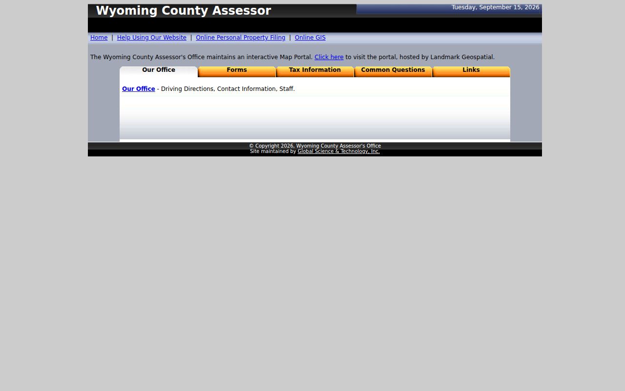
Start there for a county tax-map view. Note the parcel and district labels for a separate record search.
Wyoming County IAS Parcel Number Parts
Wyoming County parcel maps lean on one identifier. It joins the drawn tax parcel to the county's assessment card. Copy the full district and map sequence. West Virginia's IAS identifier has four segments: district, map, parcel and suffix. The state guide describes district as generally two digits. Map, parcel and suffix are generally zero-padded four-digit values. A documented example reads 2-0011-0001-0000.
The statewide form is flexible. It accepts a whole number with or without hyphens, plus guided parts. Wyoming County publishes no municipality-specific prefix or map-book range. The local form normalizes zeros and spaces in its Map and Parcel fields. When an identifier fails on one system, try the guided state fields, then the county account or deed reference.
Keep the exact ID from the parcel card. That tells a formatting change from a different parcel. The district segment matters most here. The same map and parcel digits can be ambiguous without their district. Preserve the printed parcel key as one string. Note its parts if you use the state form. Avoid adding a city-based prefix unless a county record itself shows one.
Tax Map Limits for Wyoming County Parcels
Wyoming County's warning is blunt. The maps may be inaccurate or out of date, and court use is barred. Copying or distributing finished tax maps is restricted under West Virginia Legislative Rule §189-3-7-7.8.c. Need a printed county sheet? Ask the Assessor for a permitted copy. Do not download, alter or redistribute the final map image.
Landmark's notice is unusually clear. The county map is a tax product, not a survey or legal record, and cannot be used in court. Use the display to spot neighboring tax parcels. Never set a fence, building or right-of-way line from it. The Landmark viewer's acknowledgement explains the intended use of Wyoming County's tax map.
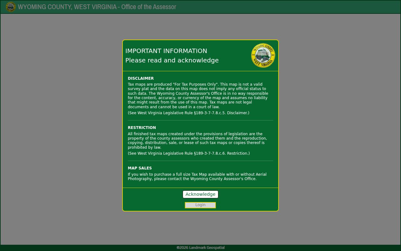
When a line affects a purchase, access, structure or dispute, compare the deed and recorded plat. Then hire a licensed surveyor.
Statewide Map Search for Wyoming County
The state Property Viewer spells out its options plainly. You can search by E-911 address, owner name, or a parcel attribute. Enter a full IAS ID or only a fragment. Addresses come from SAMS. Owner and parcel data come from IAS. One result can still show a single owner of record even when the deed names several. Trust the deed or a certified survey for acreage and boundary dimensions.
Names change. The state GIS services page points to the GIS Data Clearinghouse and the REST Service Directory for that reason. Do not expect a county tool to mirror the statewide layers.
The buffer function is the best nearby-parcel finder. Run it around a known address, then verify each candidate against the Wyoming County tax roll. Geometry results are map clues. They do not establish a legal easement or settle who owns an adjoining strip. The displayed owner can omit co-owners, so check the deed when full vesting matters.
Recorded Plats and Wyoming County Tax Maps
Wyoming County's paper trail starts with two different maps. A recorded subdivision plat lays out lots, blocks, streets, easements and dedication terms. A tax map shows assessment parcels instead. On a screen they can look alike. Their keepers and legal weight differ. A deed may cite a plat book and page. Request that copy from the County Clerk.
Older Wyoming County land descriptions may rely on metes and bounds. Directions, distances and monuments define the tract in words. A tax map can point you toward a parcel reference. Then ask the Clerk for the filed instrument or plat the deed cites. Tax maps serve assessment, not title.
The WV GIS Clearinghouse hosts archived tax-map PDFs, including a Center District sheet from 2023. That sheet helps compare an old label against a newer interactive view. It is still an archived assessment map. Reconcile a mountain parcel against the modern polygon. Use the legal description and deeded acreage in doing so.
A PDF sheet and the interactive Landmark display can carry different dates. Both draw on county assessment parcels. Record the district, sheet label and map date with your notes. Request a full-size page through the Assessor. The County Clerk, not the map vendor, holds any referenced recorded plat or instrument.
Finding a Wyoming County Parcel by Address
The local viewer's address fields are not documented. Start with the Assessor's address search instead. Enter the road you know. Then carry the district and map/parcel values it returns into the map viewer. If the street number is missing, the county help page recommends trying the street alone. The state viewer needs an E-911 address, city and state abbreviation, and it rejects rural-route and P.O. box entries.
- Find the parcel in the county Assessor search, using the street name alone if its rural number is unknown.
- Copy the district and Map/Parcel or account number from the returned assessment card.
- Open Landmark through the Assessor's Maps page and compare the map context with that identifier.
- Use the state viewer's documented address, full-ID, parts, geometry or coordinate mode if an alternate map search is needed.
- Parcel number
- A tax-map and assessment key made from district and parcel components.
- Plat
- A recorded map that lays out lots, blocks and related terms.
- Lot and block
- A parcel description that points to a lot on a recorded subdivision plat.
- Metes and bounds
- A written boundary description using calls, distances and monuments.
Wyoming County Parcel Shape and Deeded Acreage
Mountain terrain makes polygon boundaries look cleaner than they are. A crisp shape on a GIS map can hide a hard description. The statewide viewer treats deeded acreage as authoritative for tax-assessment purposes. Boundary dimensions rest on the deed or a certified survey. Old calls may follow ridges, streams or stone monuments. Use the tax map to find the likely tract. Do not use it to replace the latest deed's land description.
Before comparing maps, note each figure's source and date. Card acreage, deed calls, plats and GIS polygons serve different jobs. They may not match exactly. A surveyor locates the legal line on the ground.
What Wyoming County Parcel Maps Cannot Prove
A Wyoming County parcel map serves tax administration. That is its whole job. It cannot prove title, exact acreage on the ground, or the right to cross a neighbor's land. It cannot settle a site's permitted use either. Landmark disclaims accuracy and currency, and its finished maps cannot be used in court. Ask the city about zoning, read the deed for ownership, and commission a survey to fix a boundary.
Not a survey. Use the map to orient a search, then rely on the recorded plat, deed description and licensed surveyor for a boundary decision. Do not build or place a fence from the GIS line alone.